A bus route may look like a line on a map. For the person using it, that line can determine whether work, school, healthcare or other essential services are realistically within reach.
That is why public transport planning is ultimately about more than transport.
It is about access.
Small and medium-sized cities across Central Europe face particular mobility challenges. Urban centres are often surrounded by smaller settlements whose residents depend on connections to the centre for work, education, healthcare and other everyday activities.
Where those connections are weak, the private car can become less of a choice and more of a necessity. For people who cannot drive or do not have access to a car, the consequences are even greater.
OPTI-UP was created around this challenge: how can small and medium-sized cities plan public transport that better responds to where people live, where they need to go and how their cities are changing?
Better connections mean better access to opportunities
Consider a resident living outside a city centre. A workplace may be only ten kilometres away. A school may be even closer. A hospital, administrative office or shopping area may all exist within the same functional urban area.
Distance alone, however, does not determine accessibility. If the bus runs only a few times a day, requires poorly timed transfers or does not reach the surrounding settlement at all, those destinations can still be difficult to access.
Public transport planning therefore has to consider much more than simply whether a route exists. Network coverage, frequency, timetables, transfers, passenger demand and connections between urban and suburban areas all influence whether the system is useful in everyday life.
The OPTI-UP project explicitly connects better public transport with improved access to employment, education and essential services, particularly for people who cannot rely on a private car.

Cities change. Their transport networks need to change with them.
Many public transport networks have developed incrementally over decades.
Meanwhile, cities have changed around them.
New residential areas appear. Employment moves. Schools, healthcare facilities and commercial zones develop in different locations. Population density changes. Some areas grow while others decline. A route that made sense twenty years ago may therefore no longer correspond to today’s demand.
This is one reason OPTI-UP places particular emphasis on integrating transport planning and spatial planning. The comprehensive strategy developed through the project argues that transport and land use need to be considered together: changes in urban development affect mobility patterns, while improvements in transport accessibility can influence where people and activities locate in the future.
Better planning therefore asks not only “Where do people travel today?” but also “How is this city likely to develop?”
Not every area needs the same solution
Better public transport does not necessarily mean simply adding more conventional bus lines. Low-density areas with dispersed demand may benefit from more flexible demand-responsive transport. Existing urban networks may need routes or timetables reorganised rather than expanded. Other cities may need to focus on vehicle efficiency and fleet transition.
The appropriate solution depends on the local context. That is why evidence matters. Data on population, demand, land use, existing routes, ridership and service performance can help planners understand where the real gaps are. Transport modelling can then test possible interventions before expensive implementation decisions are made.
This is also the idea behind the OPTI-UP Toolkit: helping cities take an initial, structured look at their local conditions and identify which public transport improvement approaches may be worth exploring further.
The OPTI-UP modelling work emphasises precisely this role: models allow cities to evaluate and compare policy scenarios before making changes to real networks, where experimentation can be costly and disruptive.
Better planning is also about inclusion
Mobility determines who can participate fully in urban life. Young people may depend on public transport to reach school or university. Older residents may rely on it to reach healthcare and services. People with lower incomes or those who cannot drive may have few alternatives.
A city in which basic opportunities can only be reached conveniently by car is therefore not equally accessible to everyone. OPTI-UP’s planning methodology consequently treats accessibility and user needs as part of the planning process, alongside operational, economic and environmental considerations. Its comprehensive strategy also recommends citizen surveys and stakeholder engagement to understand travel behaviour, satisfaction and gaps in existing services.
The impact is experienced one journey at a time
Transport planning can sound abstract. It involves datasets, models, networks, operational indicators, scenarios and investment decisions. But its effects are concrete. It is the difference between reaching work with one reliable connection and needing two cars in a household.
Between a student being able to travel independently and depending on someone else for every journey. Between a surrounding settlement being connected to the opportunities of a city and remaining difficult to reach without a car. Between designing public transport around yesterday’s city and planning it around tomorrow’s needs.
That is why the OPTI-UP message is deliberately simple:
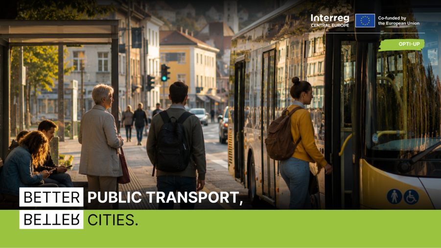
Better Public Transport, Better Cities.
Because when public transport is planned around people, places and real mobility needs, the result is not only a better transport network. It is a city that is easier to access, easier to move through and ultimately easier to live in.
Learn more about OPTI-UP and follow the project: Visit the OPTI-UP website | Follow OPTI-UP on LinkedIn